Renton Trails and Bicycle Master Plan

City of Renton
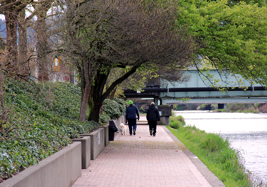
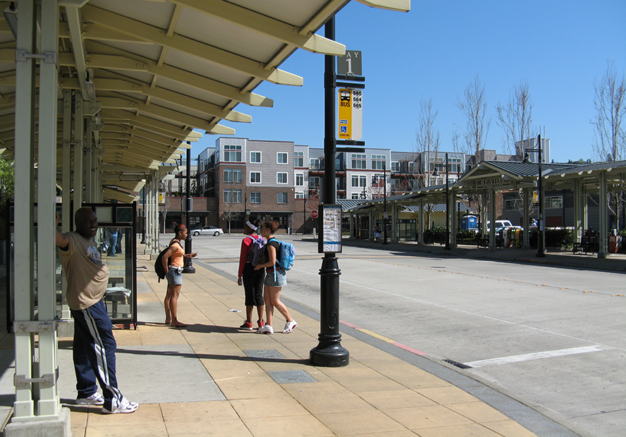
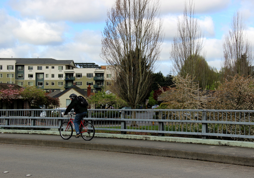
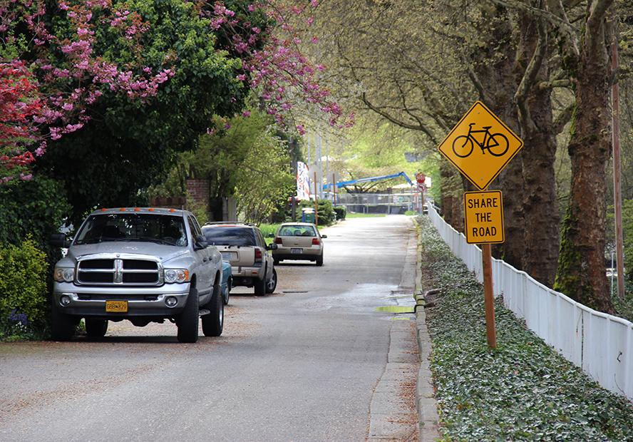
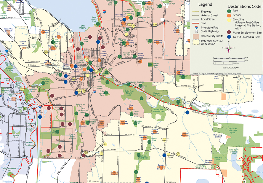
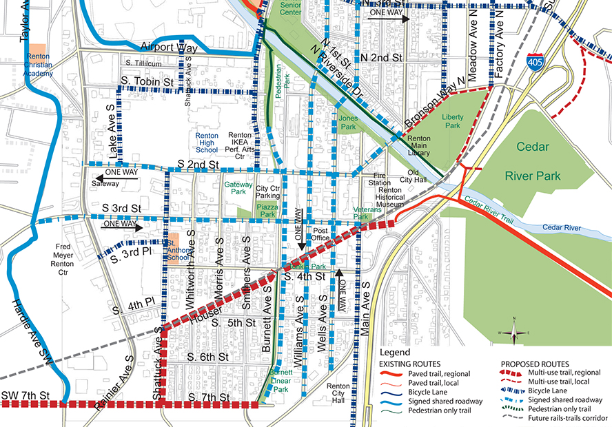
MacLeod Reckord provided a city-wide bicycle and pedestrian plan for Renton to serve multiple purposes. First, a planning document makes recommendations for transportation improvements for bikes and pedestrians, and connections to the regional trail system. Second, a bikeway map shows preferred routes through the City on the existing street system making connections to schools, places of business, regional trails, and other important destinations. This published map, including safe riding recommendations and information on points of interest is made available in hard copy and on line, and is periodically edited by the City. The planning document identifies priority projects for construction, some by Public Works on the street system, others by Parks on the off-road corridors or in parks. MacLeod Reckord is providing the City with a 2016 update of this plan, which will adapt to major new changes in the City’s transit system and downtown redevelopment plans.
City of Renton
MacLeod Reckord provided a city-wide bicycle and pedestrian plan for Renton to serve multiple purposes. First, a planning document makes recommendations for transportation improvements for bikes and pedestrians, and connections to the regional trail system. Second, a bikeway map shows preferred routes through the City on the existing street system making connections to schools, places of business, regional trails, and other important destinations. This published map, including safe riding recommendations and information on points of interest is made available in hard copy and on line, and is periodically edited by the City. The planning document identifies priority projects for construction, some by Public Works on the street system, others by Parks on the off-road corridors or in parks. MacLeod Reckord is providing the City with a 2016 update of this plan, which will adapt to major new changes in the City’s transit system and downtown redevelopment plans.

